
Death Valley National Park
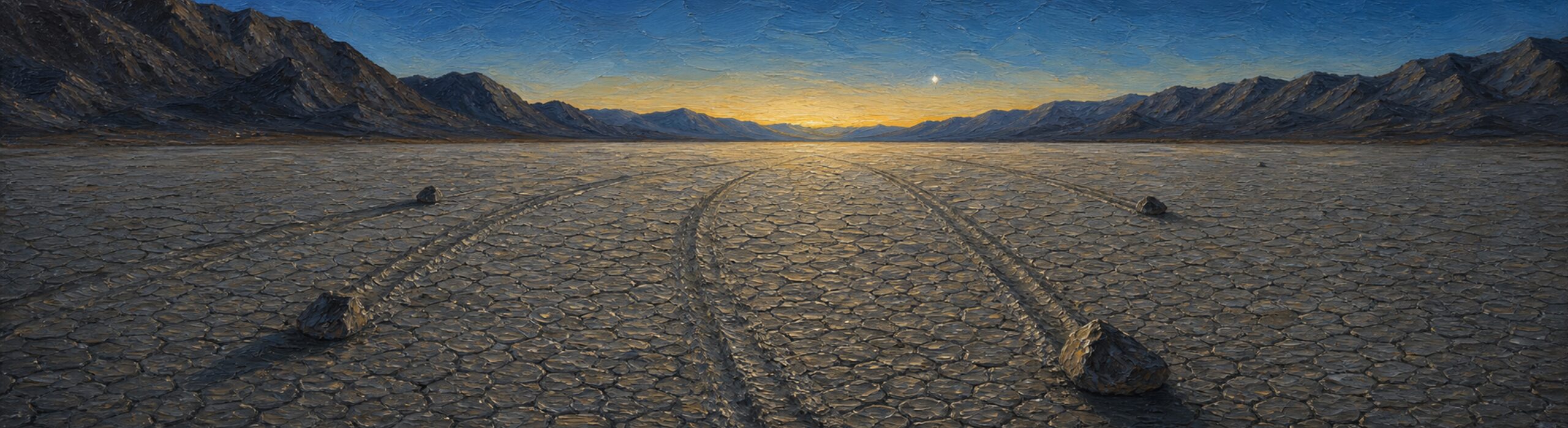
The lowest, hottest, driest place in North America. Also one of the darkest night skies on Earth — a Gold Tier International Dark Sky Park.
Narrated by someone who actually lives here.
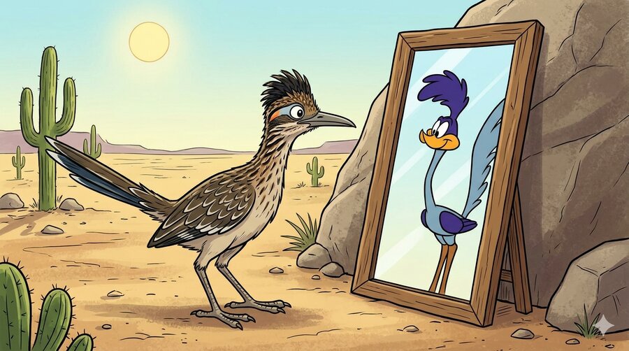
You've seen the cartoon. Let's get this out of the way.
I am not purple. My feathers are brown, black, and white, and they look that way for a reason — it's called not being eaten.
I do not say meep meep. I coo. Low, descending, six or seven notes, like a mourning dove that's given up on something. I also clatter my bill, which sounds like a stick dragged along a fence. Neither of these has ever been described as adorable.
The coyote thing is real, though. He's out there. He's faster than me over open ground. What he doesn't have is a plan, and that turns out to matter.
I'm a cuckoo, incidentally. Largest one in the family. Look it up.
But before you go any further — the desert is serious, and it has rules. Read both of these before you head out.
People say “the desert” like there's only one. There are four in North America and they are not interchangeable.
The Great Basin, to my north, is cold — it snows there, which I find embarrassing. The Chihuahuan is far to the east. The Sonoran, south of me, gets summer monsoons and grows saguaro cactus, which is the one everybody draws when they mean “desert,” and it does not grow here.
The Mojave is the smallest of the four and it sits in the gap between all of them. Rain comes in winter, when it comes. The Sierra Nevada wrings the storms dry before they ever reach us — that's called a rain shadow, and it's why I live in a place with four inches of rain a year while people two hundred miles west complain about drizzle.
Roughly a quarter of the plants here grow nowhere else on Earth.
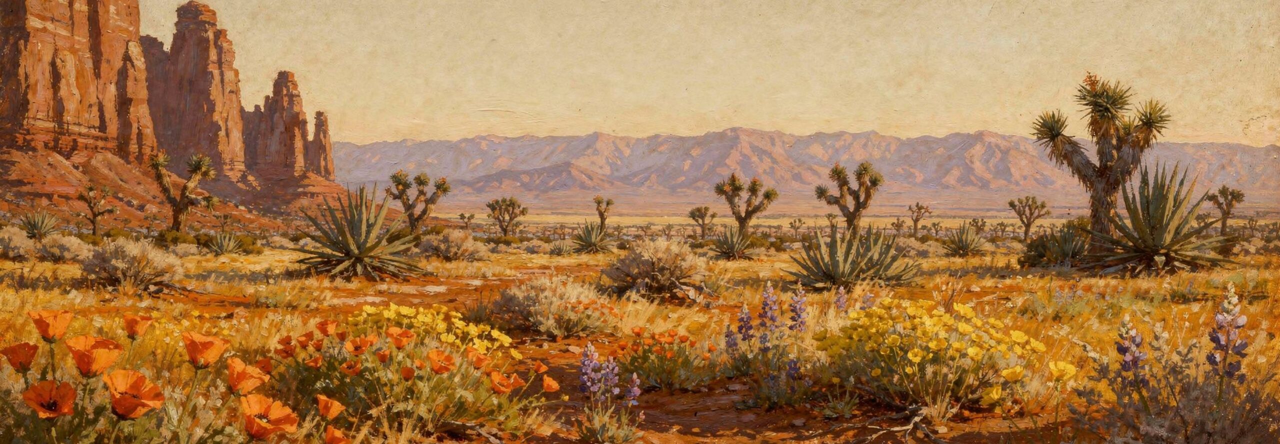
The whole desert has one indicator species — the Joshua tree. Botanists have used it to draw the boundary lines. Where it grows, that's the Mojave. Where it stops, that's something else. My entire homeland is defined by a plant that isn't technically a tree.
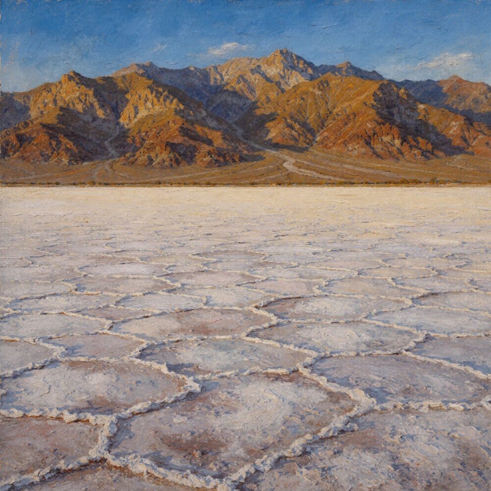
And the elevation range is absurd. Badwater Basin in Death Valley is 282 feet below sea level, the lowest ground in North America. From there you can see Telescope Peak, more than eleven thousand feet up. You can stand in the hottest place ever reliably recorded on this planet and look at snow.
So no, it isn't empty. You're going too fast.
He takes the scenic route. He's on foot — fewer cars, better views, safer bet. Here's what's out here worth knowing about.
The lowest, hottest, driest place in North America. Also one of the darkest night skies on Earth — a Gold Tier International Dark Sky Park.
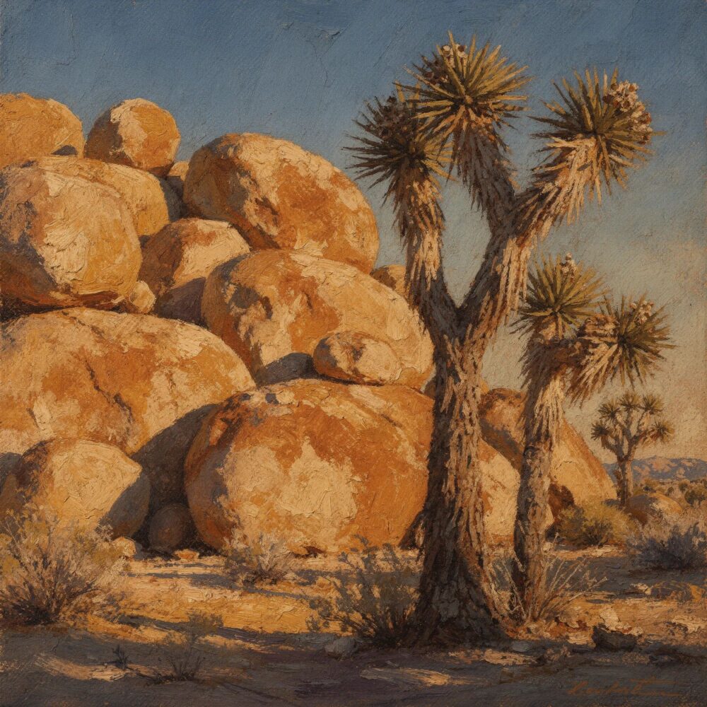
Where the Mojave meets the Colorado Desert. Named for a plant that isn't actually a tree — it's a yucca, closer kin to asparagus than to any tree.
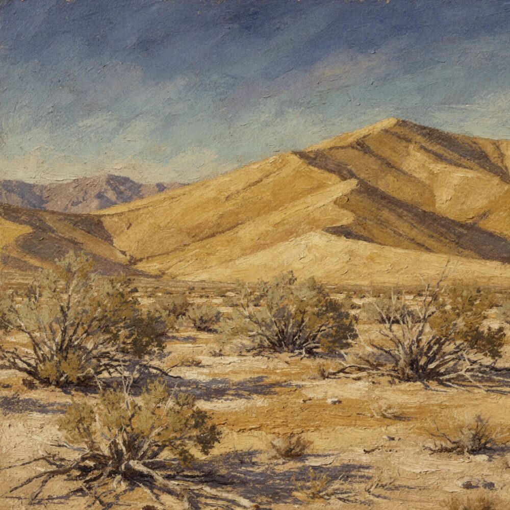
1.6 million acres. More than 30 cinder cones. Kelso Dunes. 10,000 years of human history in one place.
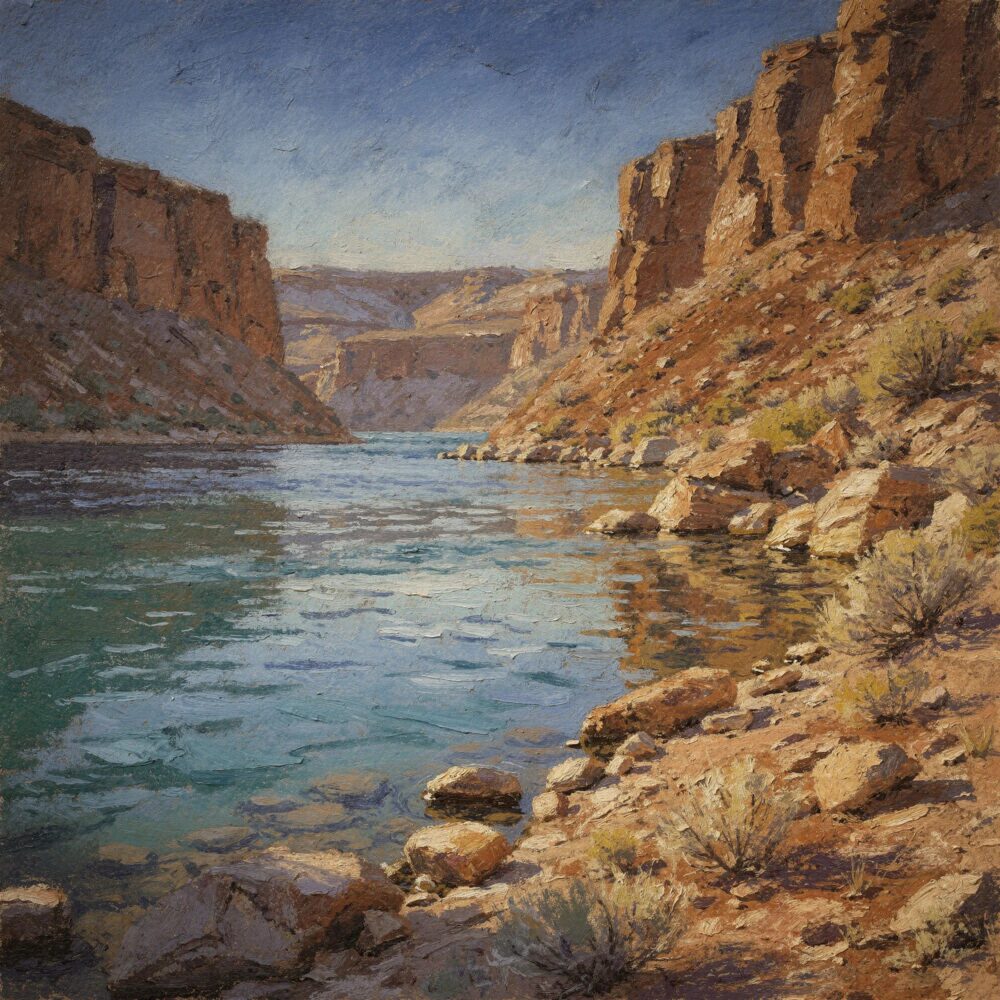
The first National Recreation Area in the United States. The Colorado River, on the Nevada–Arizona border.
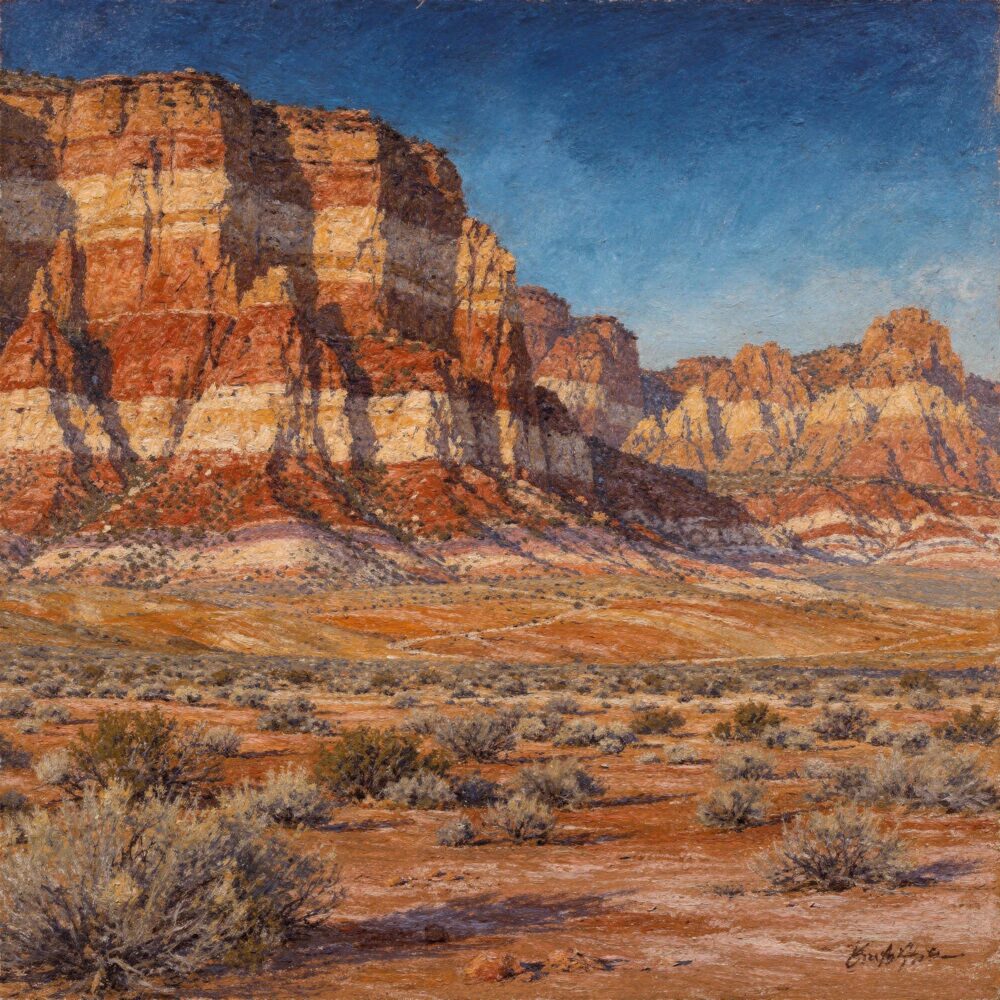
Just west of Las Vegas — cliffs of red Aztec sandstone rising from the desert floor, with a 13-mile scenic drive looping through them.
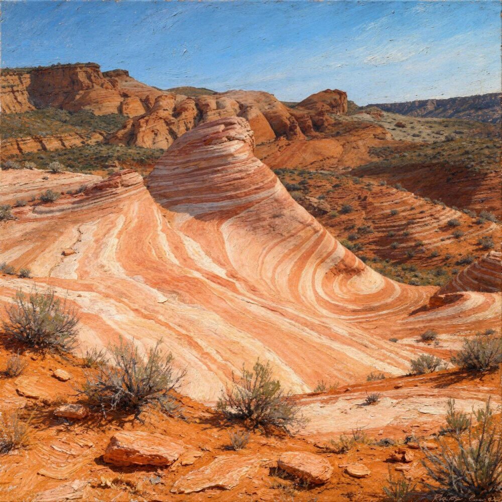
Nevada's oldest and largest state park — red Aztec sandstone that seems to catch fire at sunset, scattered with petroglyphs left by ancestral Puebloan people.
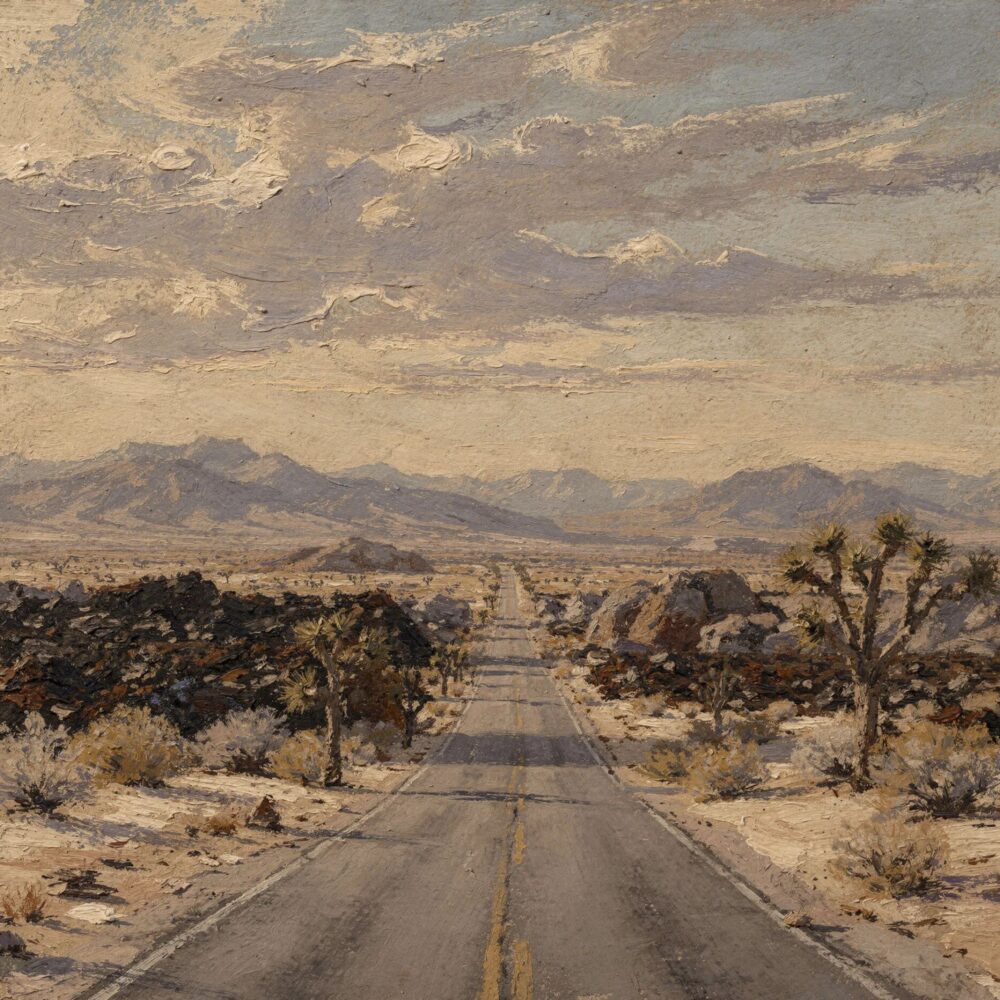
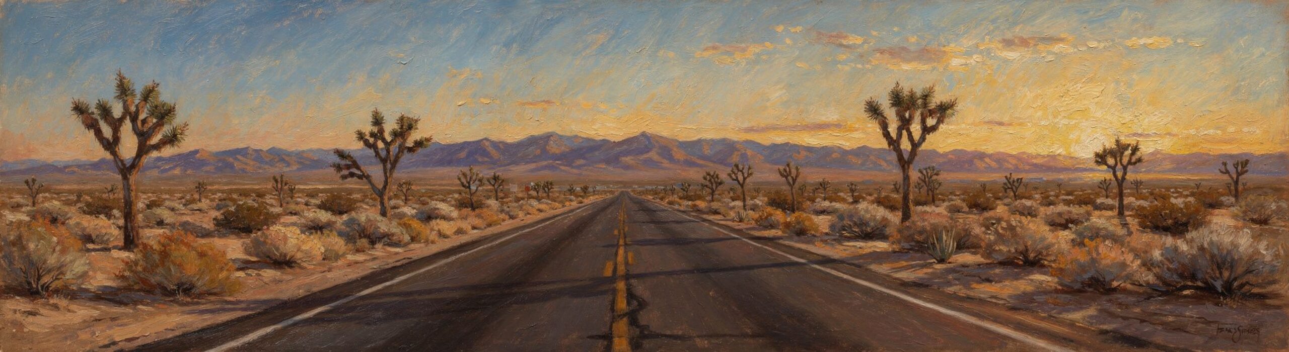
1.6 million acres of ancient lava flows, rugged ranges, and the longest remaining undeveloped stretch of Route 66. Connects the Preserve to Joshua Tree.
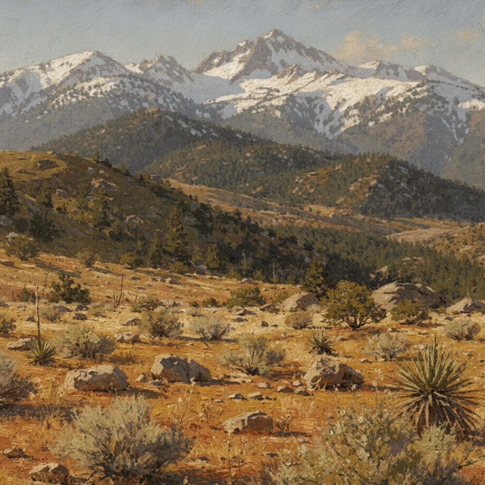
Desert floor to mountain peak — one of the most dramatic elevation changes in the United States.
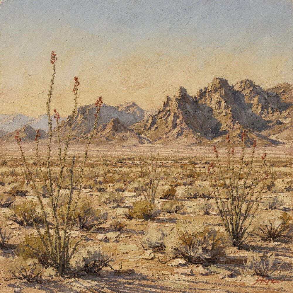
Designated January 2025 — 624,000 acres from the Coachella Valley to the Colorado River.*
* Right at the Mojave's edge, but technically part of the Sonoran (Colorado) Desert.
Scale varies across the map; the whole-region view spans roughly 800 km (500 miles) east to west. North is up.
Boundaries are approximate — the Mojave's edges shift depending on whether you're drawing them around the Joshua tree or the geometry.
Sources: EPA Level III Ecoregions · NPS Land Resources Division boundaries · BLM National Conservation Lands · OpenStreetMap · Natural Earth · SRTM terrain.
Every designated park, monument, preserve, refuge, recreation area and wilderness in the Mojave. Open the full map and switch on a category to see where they are.
Some of them are out there right now. The roadrunner on the trail. The chuckwalla on that warm rock. The coyote at the edge of the wash you didn't notice until he was already gone.
Some of these creatures are Mojave specialists — they live here and nowhere else. Others range across the Southwest and simply figured this desert out along the way. The ones pictured are a few. Slow down and you'll meet the ones we missed.
The Mojave Neighbors collection has its own graphic style — confident ink lines, a little exaggerated, the kind you draw fast when the subject isn't going to hold still. That's not an accident. It was the railroad. Learn more, see the collection.
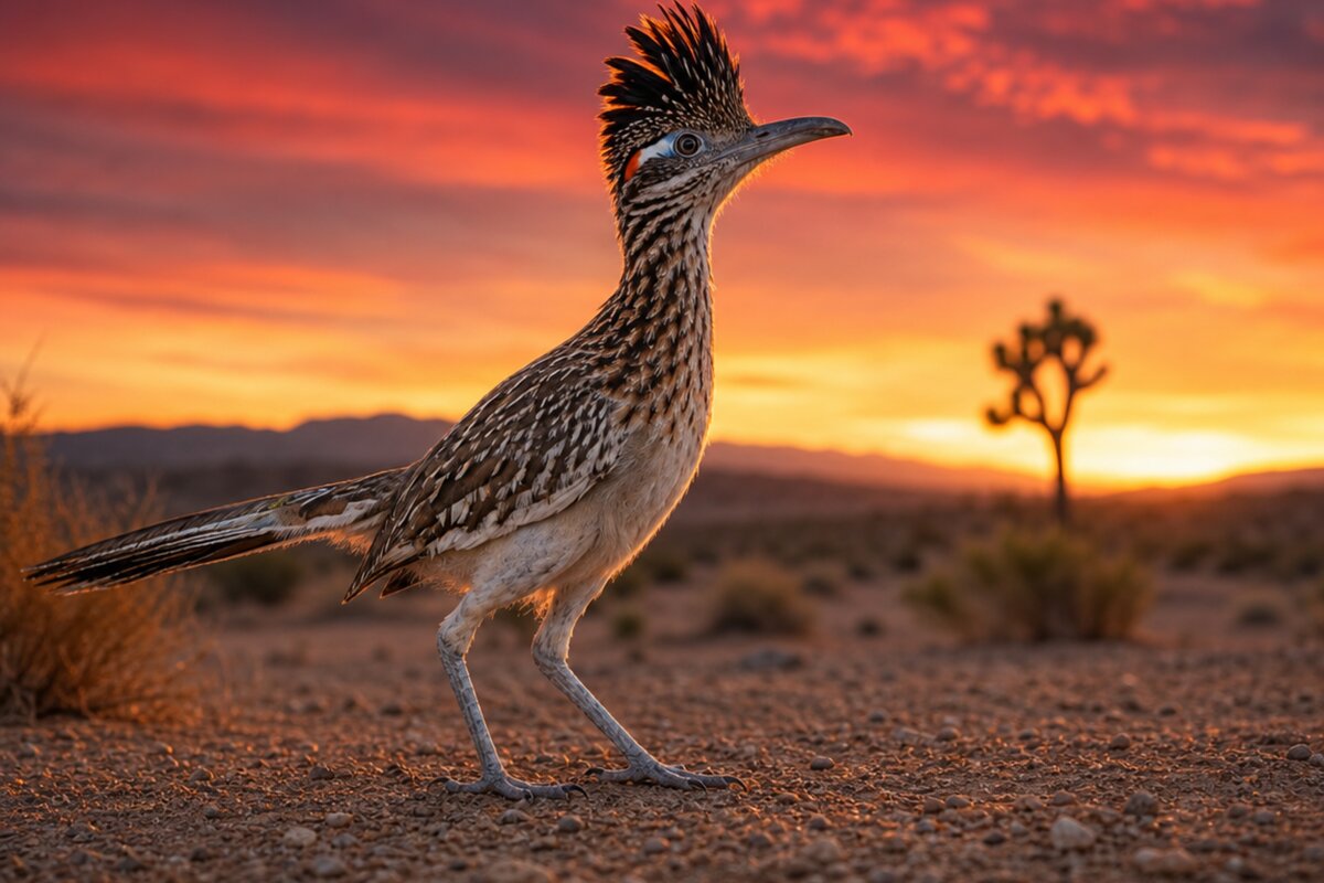
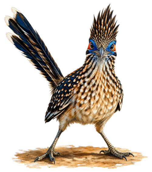
Geococcyx californianus
Somewhere out past the creosote, a bird is doing twenty miles an hour on foot and not the least bit sorry about it.
More →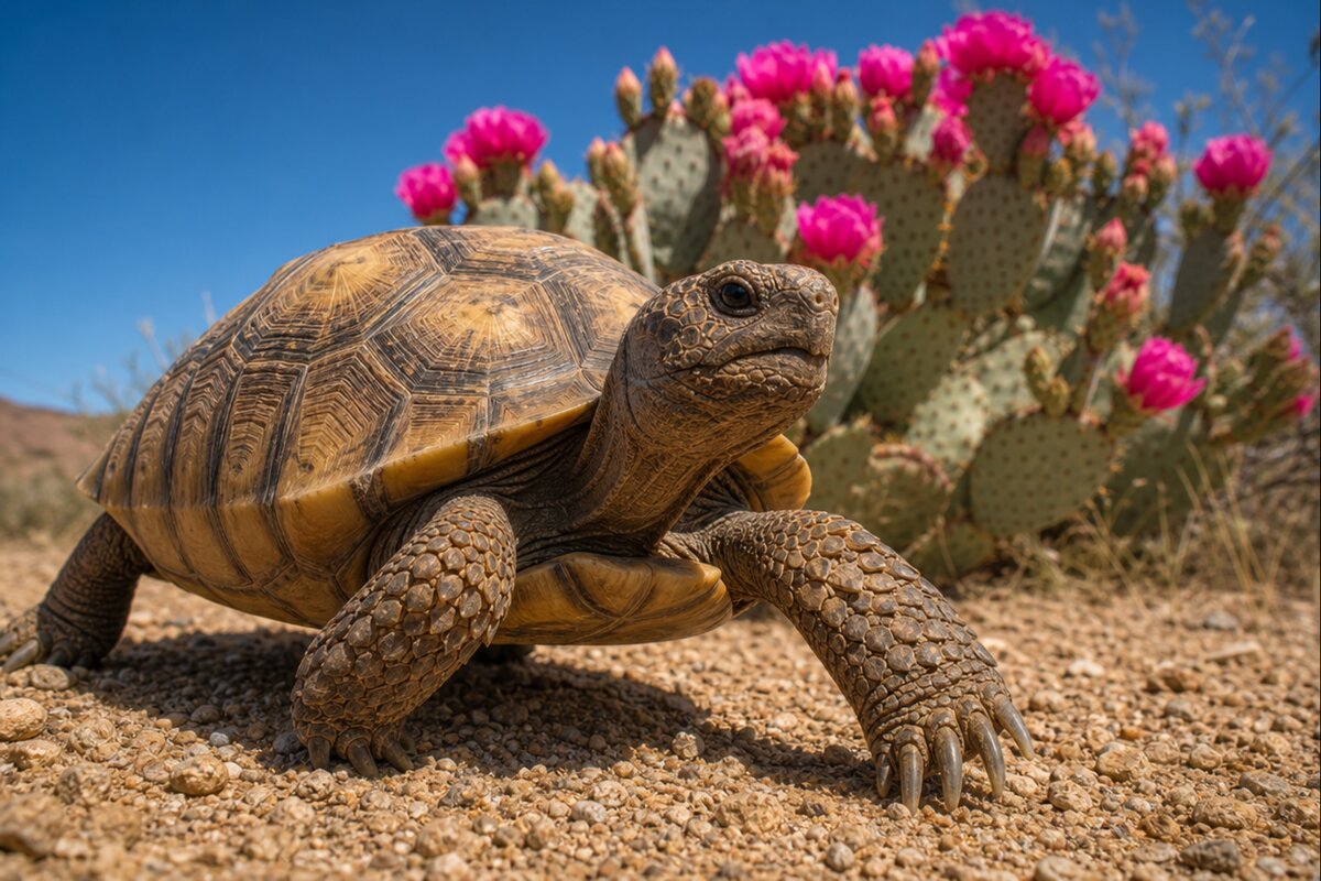
Gopherus agassizii
The desert tortoise has been keeping the same schedule for millions of years: wait out the heat, wait out the cold, come up when the wildflowers do.
More →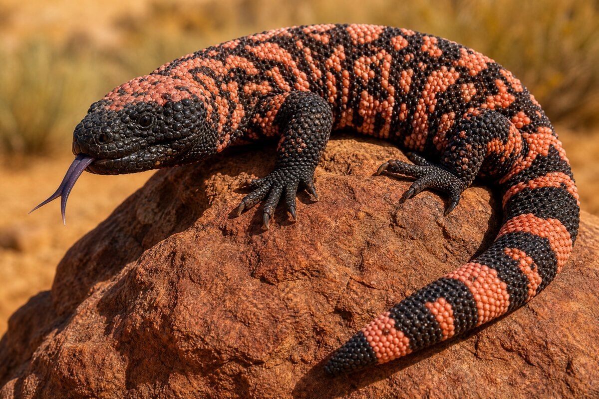
Heloderma suspectum
The Gila monster does everything slowly, and it has never once needed to explain itself.
More →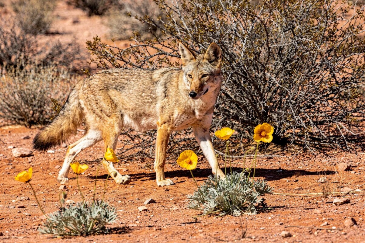
Canis latrans
The coyote has been here longer than the desert has been a desert, and it has adjusted every single time the desert changed its mind.
More →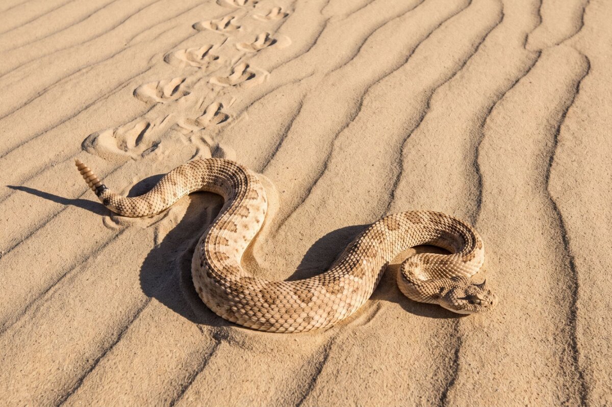
Crotalus cerastes
Sand is a terrible thing to walk on and an even worse thing to have no legs on.
More →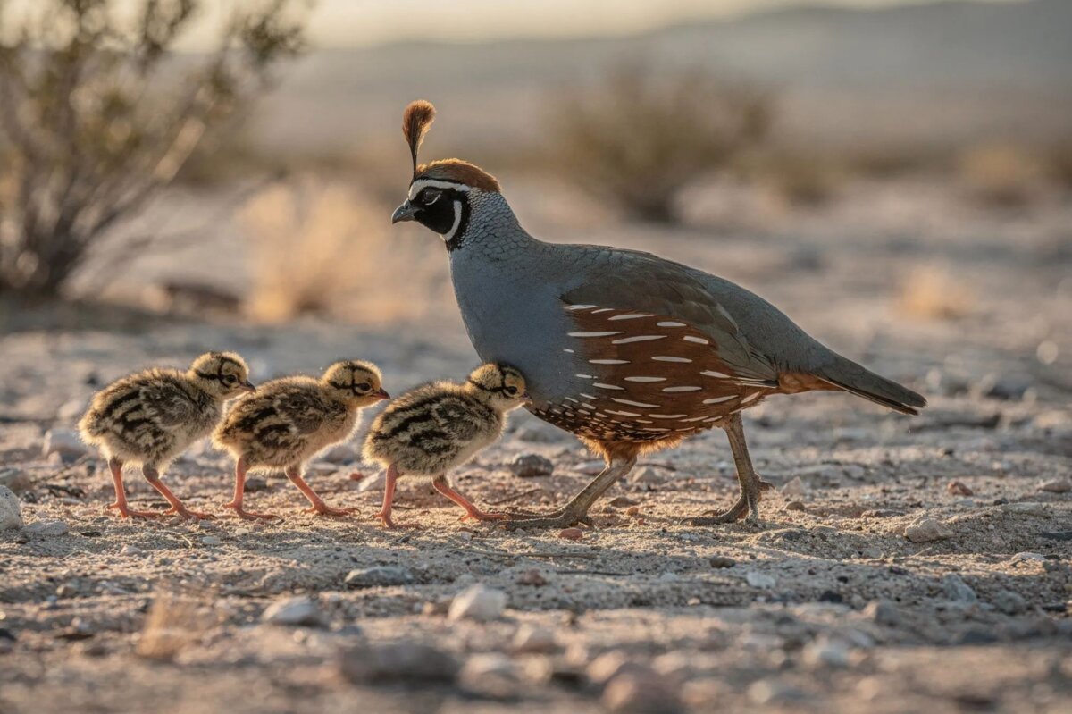
Callipepla gambelii
You will hear a covey of Gambel's quail before you see it, and then you will see all of it at once — a dozen small round birds bursting out of the brush and running, topknots bobbing, into the next bush.
More →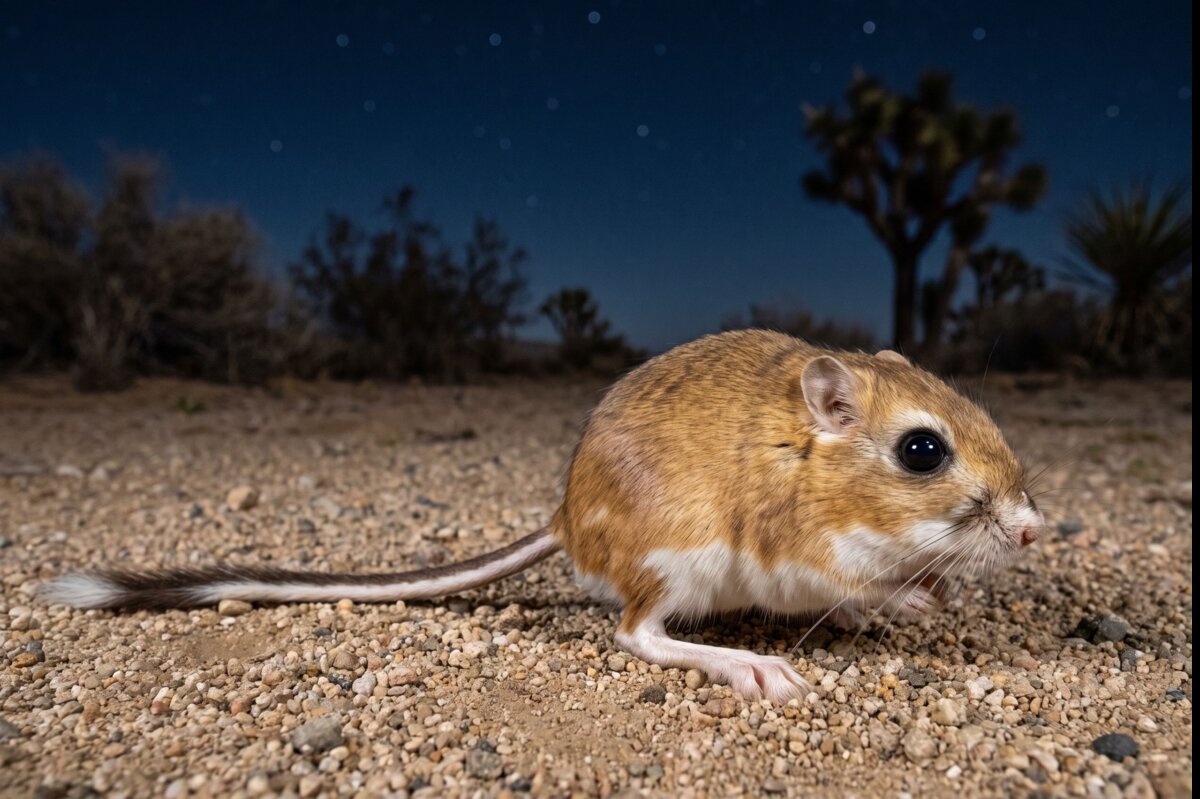
Dipodomys merriami
There is an animal out on the dunes tonight that has never had a drink of water and never will.
More →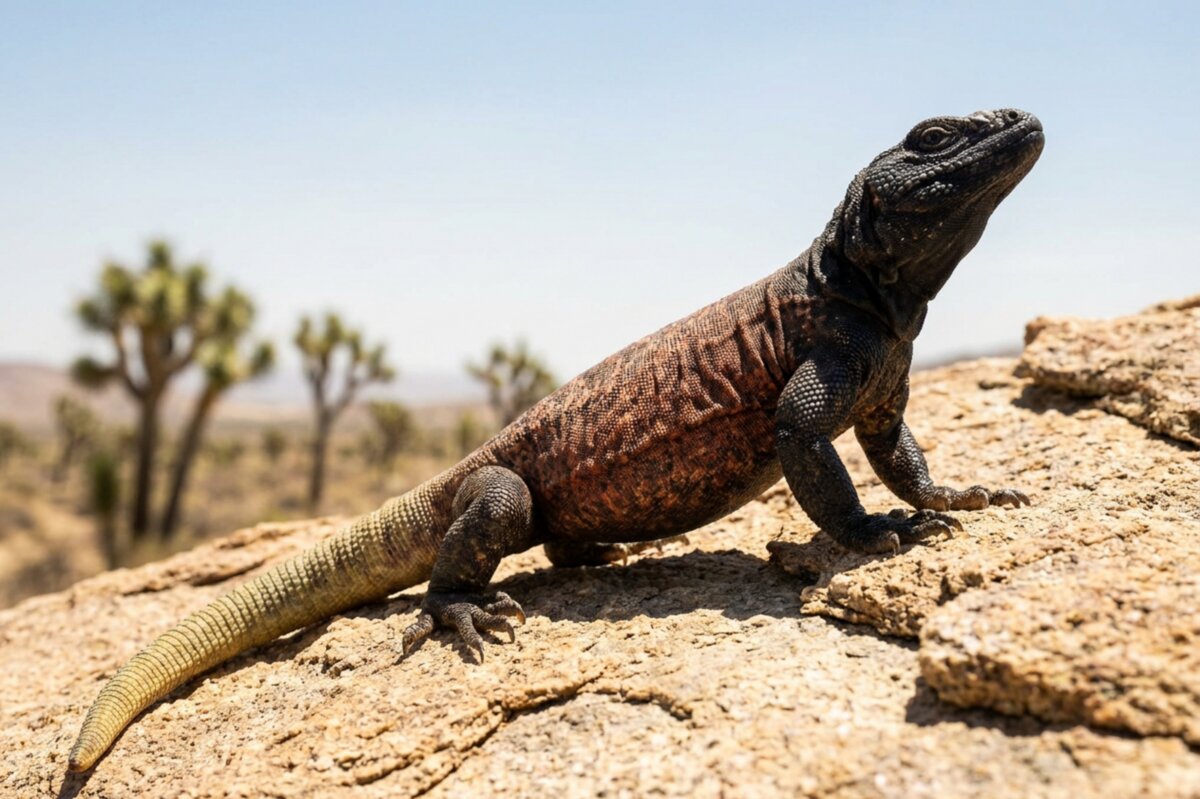
Sauromalus ater
The chuckwalla has exactly one move and it is a good one.
More →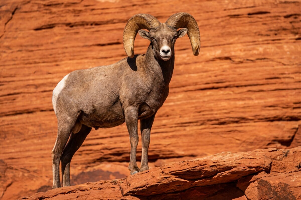
Ovis canadensis nelsoni
Look up.
More →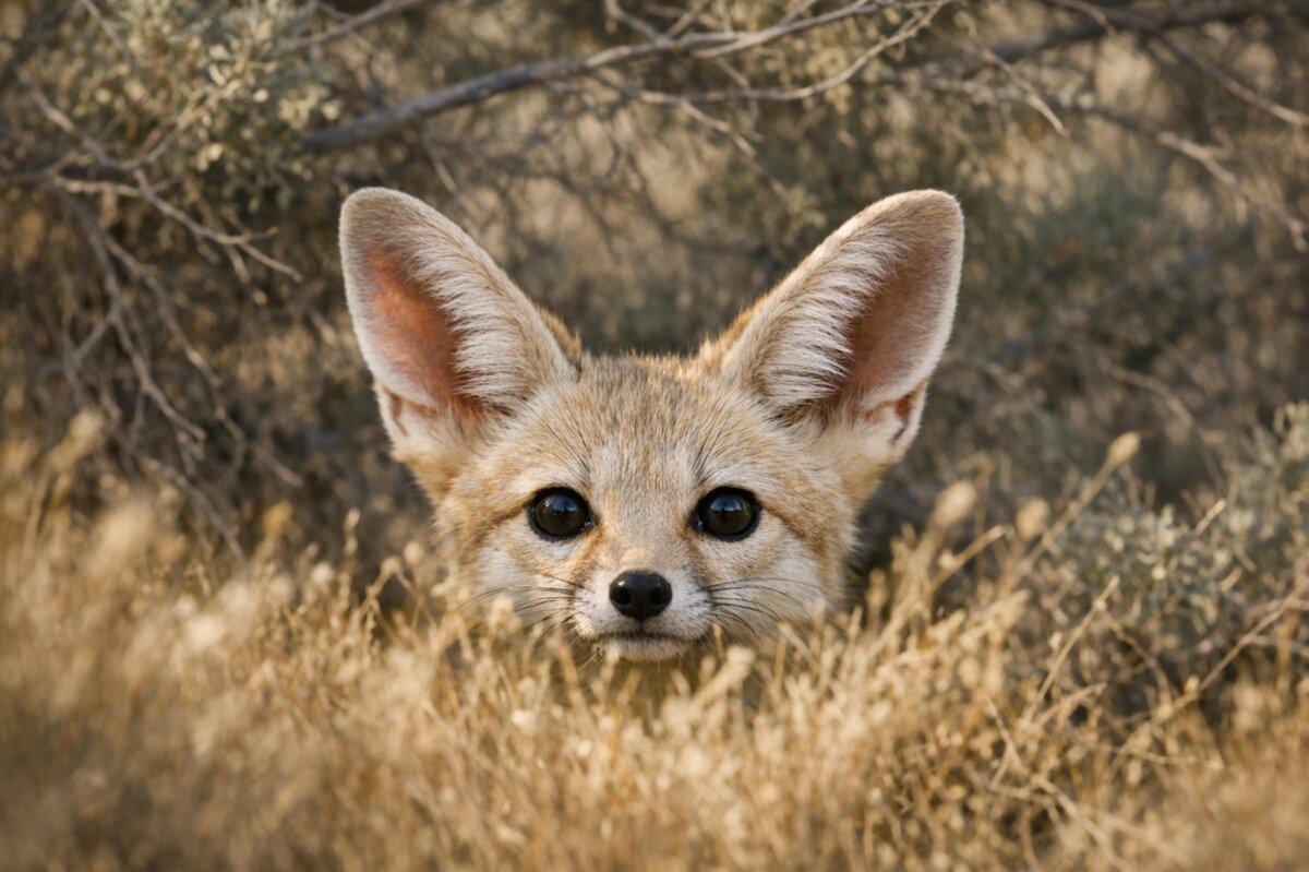
Vulpes macrotis
There is a five-pound fox out there tonight with ears too big for its head, and both facts are the point.
More →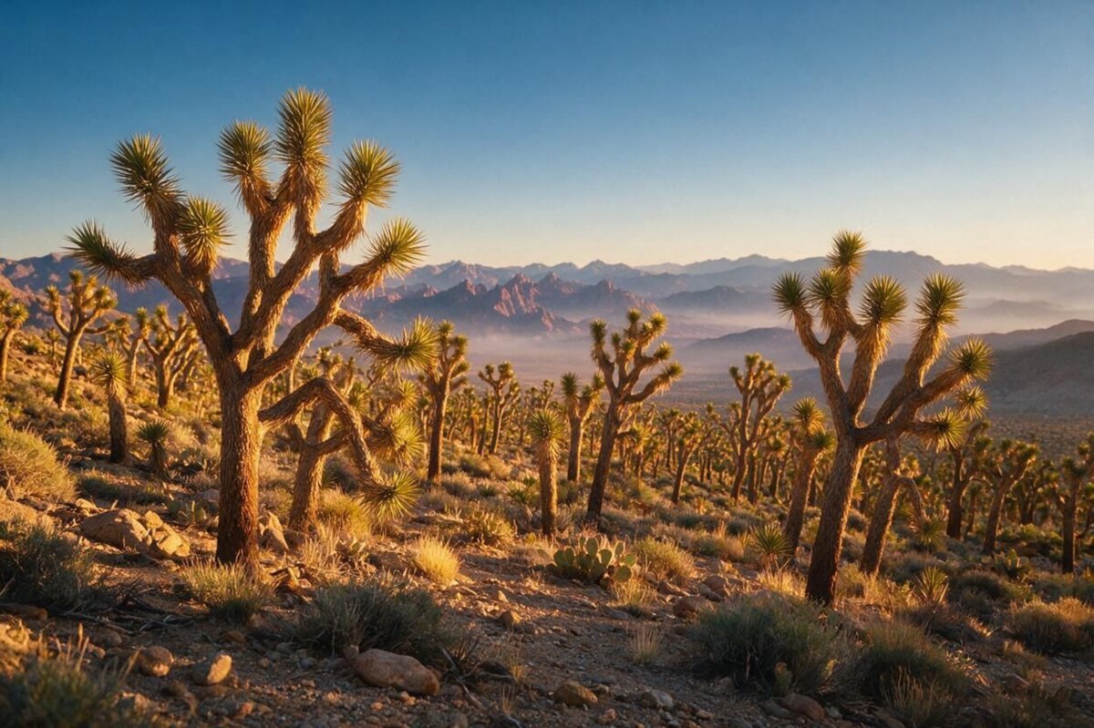
Yucca brevifolia
A Joshua tree is not a tree, has no growth rings, and cannot make a single seed without a specific moth showing up to do it by hand.
More →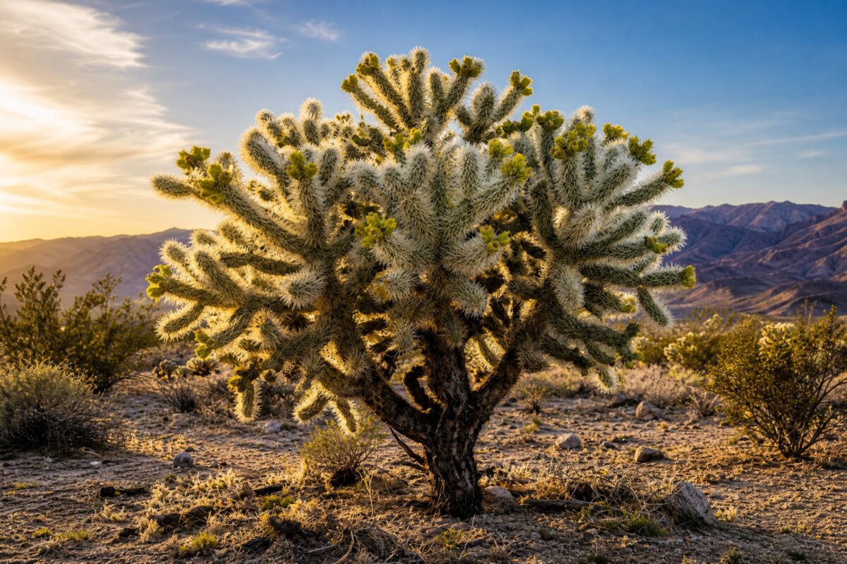
Cylindropuntia bigelovii
The name is a joke and the desert is in on it.
More →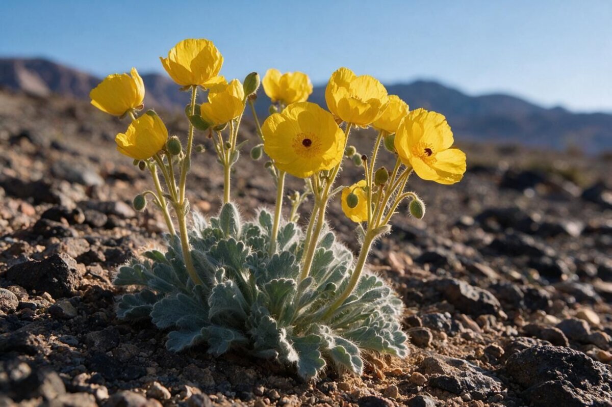
Arctomecon californica
This poppy grows in gypsum — pale, mineral, punishing soil that most desert plants can't touch — and that is precisely the point: nothing else wants the ground, so the bearpoppy gets it.
More →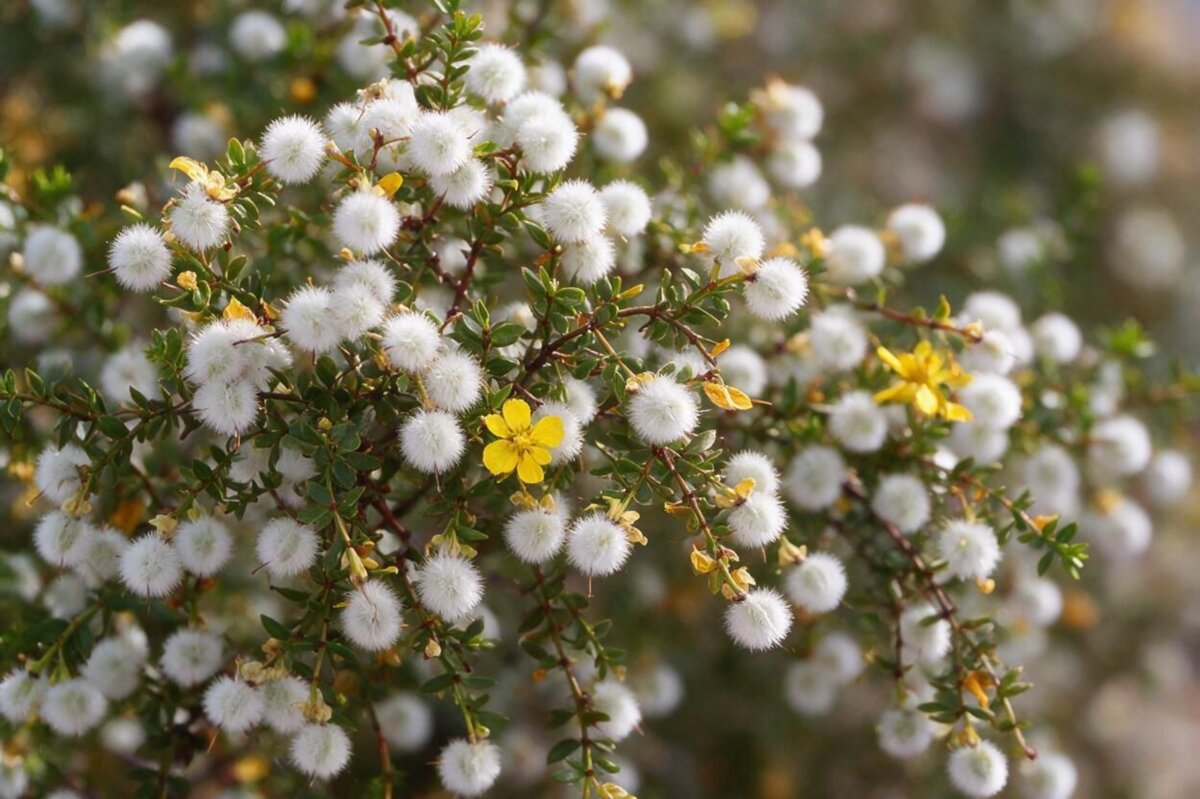
Larrea tridentata
If the desert has a smell, it's this: rain hitting creosote, resin lifting off a billion waxy leaves at once.
More →Death Valley is a certified Gold Tier International Dark Sky Park — the highest designation that exists, and the darkest sky in the continental United States. On a clear night at Badwater Basin, you're standing at the lowest point in North America under a sky that most people alive today have never seen. The Milky Way doesn't just appear — it casts a shadow.
Best spots in Death Valley: Badwater Basin for open horizon in every direction. Mesquite Flat Sand Dunes for a foreground worth photographing. Go during a new moon. Give your eyes thirty minutes.
Joshua Tree is a designated Dark Sky Park too — certified in 2017, and the closest genuinely dark sky to Los Angeles for eighteen million people. The eastern half of the park is darkest; Cottonwood Campground and Pinto Basin Road are the spots to aim for. The western side picks up glow from Palm Springs — worth knowing before you drive.
Mojave National Preserve is beautiful at night, but Las Vegas is close and bright. You'll see more stars than you're used to. You won't see what Death Valley shows you.
If the sky is the reason you're going, go to Death Valley. If you're already at Joshua Tree, the eastern wilderness will deliver.
Bring a red flashlight. White light kills your night vision — it takes thirty minutes to build and about two seconds to ruin. Red light lets you move around without resetting everyone's eyes, including your own.
And when you're done looking up — look down. A UV blacklight turns an ordinary desert floor into something else entirely. Scorpions fluoresce bright green under ultraviolet. You'll walk through the same creosote flat you crossed in daylight and realize it was never as empty as it looked.
The basement rock forms. Everything here is built on top of it.
Warm shallow seas cover the region. The limestone in the mountain ranges is the floor of that ocean.
Molten rock intrudes from below and cools underground into granite. Erosion later strips off everything above it. The boulder piles at Joshua Tree are the exposed roots of a mountain range that no longer exists.
The crust begins pulling apart, stretching the region east to west. Blocks drop, blocks tilt upward. This is the Basin and Range — the reason the Mojave is a repeating rhythm of long valleys and abrupt mountains all the way to the horizon.
Pleistocene. Colder, far wetter. Death Valley holds Lake Manly, hundreds of feet deep. Juniper and pinyon grow at elevations that are bare gravel today. Camels, mammoths, dire wolves, giant ground sloths.
Shasta ground sloths eat Joshua tree fruit and carry the seeds for miles before depositing them. Then they go extinct. The Joshua tree never found a replacement. Nothing alive today moves its seeds any real distance. The tree is still standing in a landscape it can no longer travel across — waiting on an animal that is not coming back. As the climate warms and its range shifts northward, it has no way to follow.
People arrive. They have been here ever since, without interruption.
The King Clone creosote ring germinates. It is still alive.
The lakes evaporate. The pinyon woodlands retreat uphill. Creosote and Joshua tree move in. The Mojave as it exists now takes shape.
Native peoples have lived across this desert for thousands of years, without interruption — and they are still here today. Not “lived.” Live. This is home in the present tense, not a closed chapter of history.
A wagon party takes a shortcut. It does not work. One of them looks back at the valley on the way out and gives it the name that stuck.
Borax. Twenty-mule teams hauling wagons out of Death Valley. Silver strikes come and go, and leave towns behind that also come and go.
Furnace Creek records 134°F, still the official highest air temperature ever measured on Earth.
Route 66 opens. The desert becomes something Americans pass through, and a certain kind of roadside architecture is born.
Joshua Tree National Monument is established, largely because Minerva Hoyt spent a decade refusing to be dismissed by people who thought the desert was worthless.
Patton establishes the Desert Training Center. Tank tracks from that era are still visible from the air. The desert does not heal quickly.
The California Desert Protection Act creates Death Valley and Joshua Tree National Parks and the Mojave National Preserve.
The Dome Fire burns 43,273 acres and kills an estimated 1.3 million Joshua trees on Cima Dome, one of the densest Joshua tree forests in the world. Cima Dome was higher and cooler than the surrounding desert, which is precisely why researchers had identified it as the refuge the species would retreat into as the climate warmed. Three years on, only about 20% of the trees in study plots were still alive.
The York Fire burns the adjacent forest and kills roughly a million more. The two fires together: an estimated 2.5 million trees. Fire was never part of this system. Joshua trees have no adaptation to it, because for most of their existence they never needed one. Invasive grasses — brought in accidentally, thriving in the gaps between plants where nothing used to grow — turned a landscape that couldn't carry fire into one that can.
California passes the Western Joshua Tree Conservation Act.
Under current warming projections, the Joshua tree could lose nearly all of its range in California within decades.
The dune stays put because there's a mountain in the way. The tortoise digs the burrow that shelters everything else. The moth is the only reason the tree exists. The tree is the only reason the moth exists. The bush poisons the ground to hold its water and has been doing it since before agriculture.
None of it is empty. All of it is load-bearing.
I'd just like you to slow down.
— G.R.